3D modeling with drones
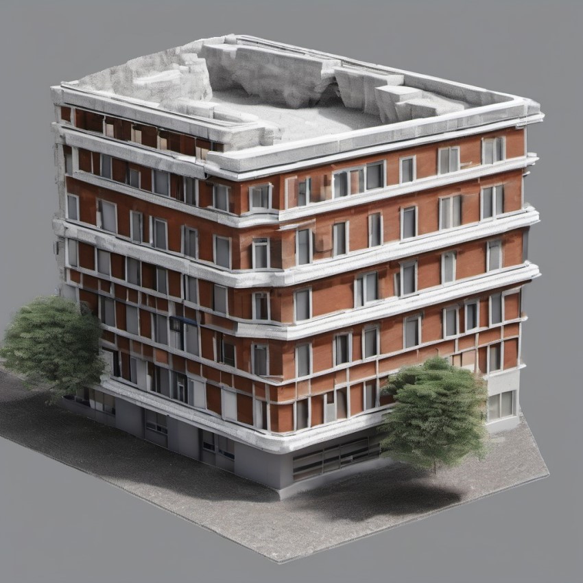
A science called photogrammetry allows us to create digital copies of real-world objects. Let's look at this topic in more detail and consider what approaches and tools are used to perform such operations.
What is photogrammetry?
Photogrammetry is a process of determining the shape, size, position and other characteristics of objects by using multiple overlapping images. This technique is used to create maps and solve problems in medicine, construction, and many other areas. One of the most remarkable sections of photogrammetry is the construction of spatial models of objects from photographs.

Nowadays, a large amount of software has been created that can process photos and generate a points cloud to create 3D models. The good thing about it is that many of these programs are free to public and accessible to everyone. Here is just a short list of software providing this function:
Challenges you may encounter.
1. The loss of output quality.
A static object, such as a building under construction, needs to be photographed from many angles. The more different photos are collected, the more realistic the processing result will be. Topographical surveys used to digitize areas with a large number of buildings, produce the model with multiple artifacts that reduce quality.
2. Pilot professional requirements.
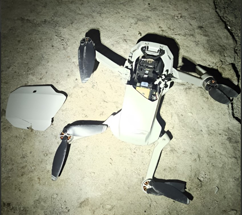
When high resolution is top priority, topographic survey is not enough and the object must be shot from all sides. Carrying out such flights manually is extremely challenging, and can only be performed by highly qualified operators. This process is also associated with loss of time and the risk of the drone collision with the scanned or nearby objects.

Photography automation solution.
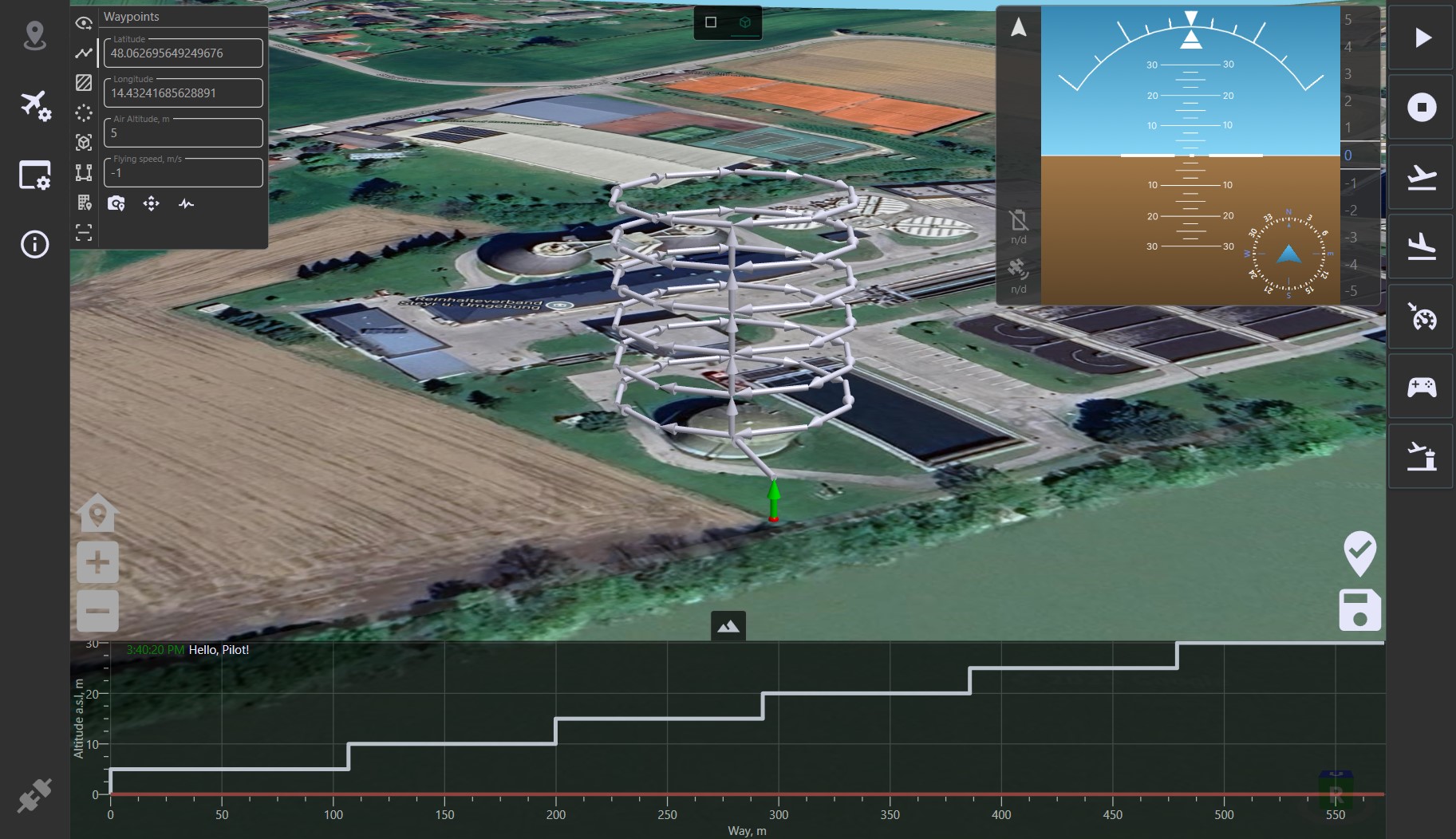
LOGOS is not only a ground station, but also a planner of complex flight missions including routes for collecting photogrammetry material.
Moreover, when creating the route, it is possible to add a virtual 3D model of the scanned object using its geolocation coordinates. This streamlines the mission planning, allowing the operator to handle more objects during a day.

It takes only 1 or 2 minutes to create such a flight mission with LOGOS GCS, while doing it manually using a remote controller is challenging and time-consuming.
Details of route planning for photogrammetry are described in the following sections:
- Object binding - creating a virtual object model
- Vertical scaling - cloning of levels
- Camera settings - shooting frequency
- Servo settings - camera tilt settings
- Upload - uploading the flight mission on the UAV
Video demonstration of route for 3D modeling with drone
For more details on working with GCS, it is recommended to study all the documentation.
Contact information
For any questions concerning our products and services you can reach out us by using the following contact information:
- Company: AEROLOGOS LLC
- Address: 220018, Republic of Belarus, Minsk, Maksima Gorezkogo 14, premice 503, room 4-63
- Email: contact@aerologos.by
- Phone: +375 (33) 662-05-81
- Website: https://aerologos.by
- Contact form
Interested?