Working with map modes
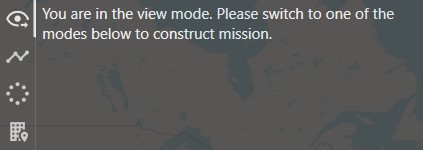
View mode
Prohibits flight missions editing.
This is the default mode, which is also recommended to be switched to before launching the UAV.
Waypoints
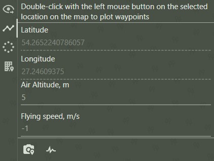
The mode for plotting waypoints.
After adding a point, you can change the flight altitude and speed. A speed value of '-1' means no change.
There are also camera settings and servo settings buttons at the bottom of the mode.
In order to edit a previously plotted point, right-click on it and select 'Edit', or 'Remove' to remove it from mission.
 If the home and take-off points have not been added, then in this mode they are always applied first and only then the waypoints.
Point of interest with circling flight
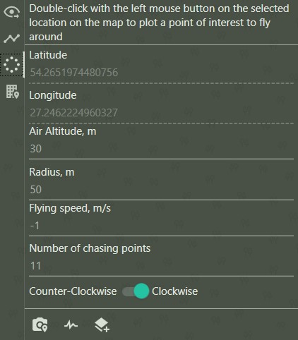
The mode for plotting the point of interest with circling flight.
When adding a point of interest to the map, the program automatically generates a circle with default settings.
You can change the flight altitude, flight radius, speed, number of flight points and direction (clockwise/counterclockwise).
A speed value of '-1' means no change.
There are also camera settings, servo settings and vertical scaling buttons at the bottom of the mode.
In order to edit a previously plotted point, right-click on it and select 'Edit', or 'Remove' to remove it from mission.
 If the home and take-off points have not been added, then in this mode they are always applied first and only then the point of interest.
Construction binding
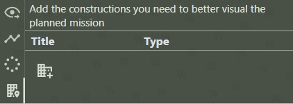
The construction binding mode can help to better visualize the planned mission.
This mode is described in details in construction binding section.
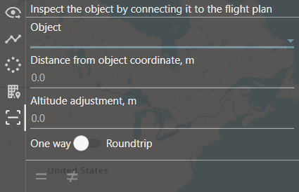
Inspection
Inspection mode allows You to generate the route that goes against the selected object.
More details can be found in Wind turbine blades inspection section.
Reminder
If you have forgotten the meaning of a button, simply hover your mouse over it and wait until a tooltip appears.