Cargo delivery with UAVs
Shipping is one of the most developed areas of business today. It is no longer a surprise to anyone that, having ordered something from a factory in Asia, the goods will be received in just a few weeks or days. The process is fine-tuned to ensure on-time delivery and superb customer satisfaction. The undisputed leaders in terms of volume and speed of delivery are sea vessels, heavy aircrafts, trains and semi-trailer trucks.
Delivery drones
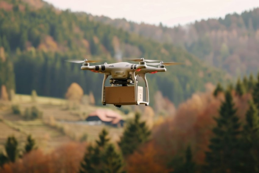
As for the delivery of goods by drones, nowadays this is still only a developing domain. Nevertheless, this method of transportation is dynamically gaining its niche. In the situations of force-majore nature conventional delivery routes may not respond efficiently.

At least, the following list of problems small unmanned vehicles can solve better than the conventional means:
- Transportation of vaccines to quarantine zones
- Delivery of food and equipment to disaster areas
- Emergency delivery of medicines to hard-to-reach regions
- Lifting the receiving and transmitting antennas to establish communication
- Spraying pesticides
LOGOS for delivery
One of the most basic options LOGOS GCS provides is carrying out flight missions for cargo delivery. You just need to follow these steps:
- Add home and takeoff point
- Place the waypoints on the map
- Ensure that the route does not intersect with the ground
- Add instruction to drop the payload at the delivery point
- Add return waypoints
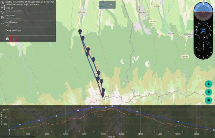
Check this elevation map out in the following example:

As you can see, the application provides the user with a rather detailed picture of the landscape changes.
The accuracy of the altitude map is 90 meters. Therefore, if the altitude is set correctly at each point, a collision with the ground is prevented. At the point of delivery a payload drop instruction is added using servo settings.
Important to know: although the elevation map shows altitudes relative to the sea level, the elevation of waypoints is calculated from the start point. As you can see in the example above, the start point is approximately 400 meters above sea level, but for the user this position is taken as 0. This simplifies the process of creating flight missions.
Video demonstration of route for cargo delivery with drone
For more details on working with GCS, it is recommended to study all the documentation.
Contact information
For any questions concerning our products and services you can reach out us by using the following contact information:
- Company: AEROLOGOS LLC
- Address: 220018, Republic of Belarus, Minsk, Maksima Gorezkogo 14, premice 503, room 4-63
- Email: contact@aerologos.by
- Phone: +375 (33) 662-05-81
- Website: https://aerologos.by
- Contact form
Interested?