Vertical scaling
Explanations
After adding or editing a point of interest, the vertical scaling button is activated.

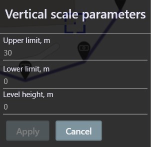
Clicking on it opens a dialog with the following options:

- Upper limit - the height in meters of the upper level (by default the height of the edited point)
- Lower limit - the height in meters of the lower level
- Level height - height in meters of one level
Filling the form
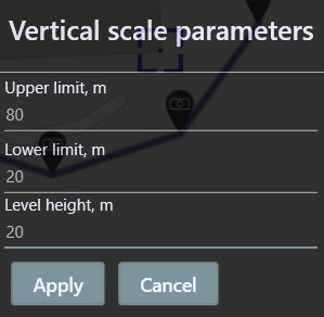
Let's say you specified the following parameters:

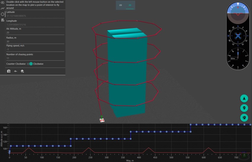
After clicking the 'Apply' button you will get the following result on the 2D map:

And the next one is on the 3D map:

Also pay attention to the route constructed in the form of a 'ladder' on the elevation map.
Reminder
If you have forgotten the meaning of a button, simply hover your mouse over it and wait until a tooltip appears.